
ملف:Highland UK location map.svg

حجم معاينة PNG لذلك الملف ذي الامتداد SVG: 556 × 600 بكسل. الأبعاد التانيه: 222 × 240 بكسل | 445 × 480 بكسل | 712 × 768 بكسل | 949 × 1,024 بكسل | 1,898 × 2,048 بكسل | 1,320 × 1,424 بكسل.
الصوره الاصليه (ملف SVG، اساسا 1,320 × 1,424 بكسل، حجم الملف: 5.26 ميجابايت)
| وصف |
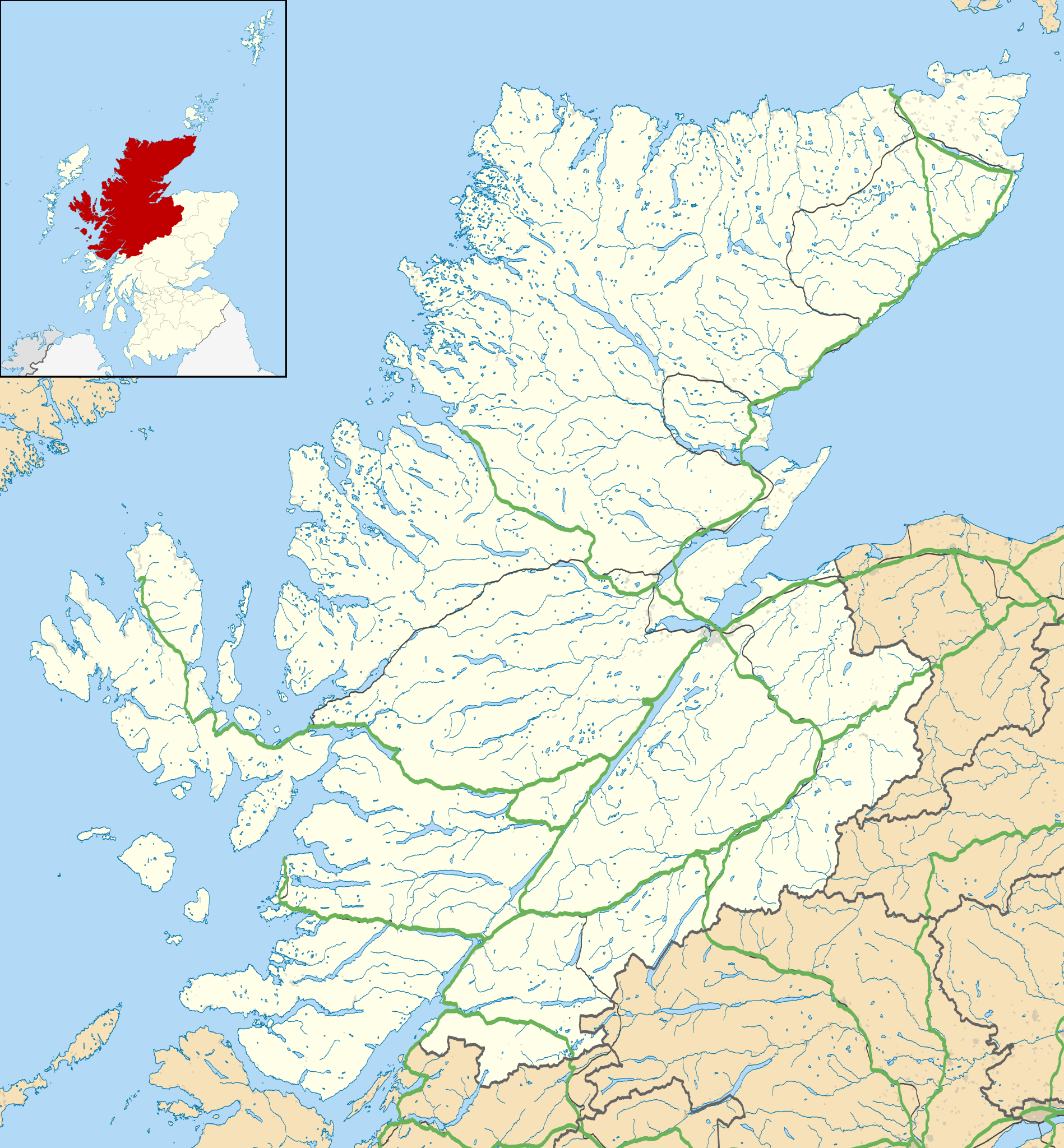
Blank map of Highland, UK with the following information shown:
Equirectangular map projection on WGS 84 datum, with N/S stretched 180% Geographic limits:
|
| تاريخ | |
| مصدر |
|
| مؤلف | Nilfanion, created using Ordnance Survey data |
| سماح (إعادة استخدام الملف ده) |
الملف ده مترخص حسب رخصة المشاع الإبداعى نسبة المصنف للى مألفه - المشاركة بالمثل 3.0 العامه نسبه ل: Contains Ordnance Survey data © Crown copyright and database right
|
| إصدارات أخرى | File:Highland UK blank map.svg - Blank map |
تاريخ الفايل
اضغط على الساعه/التاريخ علشان تشوف الفايل زى ما كان فى الوقت ده.
| الساعه / التاريخ | صورة صغيرة | ابعاد | يوزر | تعليق | |
|---|---|---|---|---|---|
| دلوقتي | 20:20، 26 سبتمبر 2010 | | 1,320 × 1,424 (5.26 ميجابايت) | Nilfanion | {{Information |Description=Blank map of Highland, UK with the following information shown: *Administrative borders *Coastline, lakes and rivers *Roads and railways *Urban areas Equirectangular map projection on WGS 84 datum, |
استخدام الفايل
ال2 صفحة دى فيها وصله للفايل ده:
استخدام الملف العام
الويكيات التانيه دى بتستخدم الفايل ده:
- الاستخدام ف ar.wikipedia.org
- الاستخدام ف ba.wikipedia.org
- الاستخدام ف bg.wikipedia.org
- الاستخدام ف ceb.wikipedia.org
- الاستخدام ف de.wikipedia.org
- Kernkraftwerk Dounreay
- Skye Bridge
- Caledonian Stadium
- Neist Point
- Victoria Park (Dingwall)
- Loch Eriboll
- Tarbat Ness Lighthouse
- Ardnamurchan Lighthouse
- Sandwood Bay
- Vorlage:Positionskarte Schottland Highland
- Flughafen Inverness
- Culloden Viaduct
- Fearn Airfield
- Bone Caves
- Wick Airport
- Flugplatz Broadford
- Flugplatz Plockton
- Affric-Beauly-Kraftwerke
- Cromarty Lighthouse
- Leuchtturm Dunnet Head
- Telford Street Park
- Chanonry Lighthouse
- Noss Head Lighthouse
- Cape Wrath Lighthouse
- الاستخدام ف en.wikipedia.org
- Highland (council area)
- List of monastic houses in Scotland
- Inverness
- Plockton
- Knoydart
- Nairn
- Tain
- Grantown-on-Spey
- North Caledonian Football Association
- Carbisdale Castle
- Strontian
- Summer Isles
- Trotternish
- Murlagan
- Badachro
- Ormond Castle
- Dalneigh
- Insh Marshes
- Wick, Caithness
- Inverness Airport
- Achnashellach
- Balintore, Easter Ross
اعرض استخدام عام اكتر للملف ده.