
ملف:Island of Ireland location map Mayo.svg

حجم معاينة PNG لذلك الملف ذي الامتداد SVG: 481 × 599 بكسل. الأبعاد التانيه: 192 × 240 بكسل | 385 × 480 بكسل | 616 × 768 بكسل | 822 × 1,024 بكسل | 1,643 × 2,048 بكسل | 1,450 × 1,807 بكسل.
الصوره الاصليه (ملف SVG، اساسا 1,450 × 1,807 بكسل، حجم الملف: 642 كيلوبايت)
| وصف |
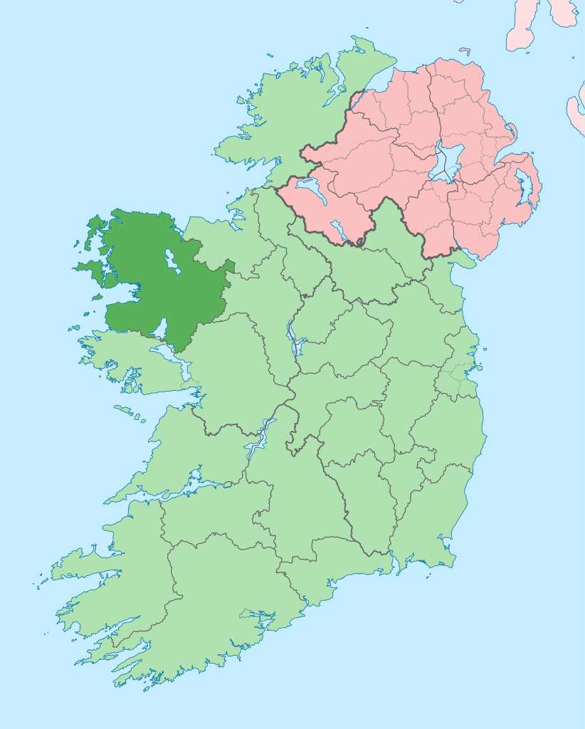
English: The island of Ireland, showing international border between Ireland and Northern Ireland, traditional provinces, traditional counties, and local authority areas in Ireland and Northern Ireland. |
| تاريخ | (UTC) |
| مصدر | |
| مؤلف |
|
| هذا رسمٌ مُعَدَّلٌ رقميَّاً من النسخة الأصليَّة. التعديلات هي: Coloured in regions with county of article highlighted. يُمكن الاطلاع على النسخة الأصليَّة هنا: Island of Ireland location map.svg:
|
أنا، صاحب حقوق التأليف والنشر لهذا العمل، أنشر هذا العمل تحت الرخصة التالية:
الملف ده مترخص حسب رخصة المشاع الإبداعى نسبة المصنف للى مألفه - المشاركة بالمثل 3.0 العامه
- إنت حر:
- فى المشاركه – علشان نسخ و توزيع و بث العمل
- إنك تمزج – فى تكييف العمل
- بالشروط دى:
- نسبه ل – لازم يتنسب العمل للى مألفه بشكل مناسب و توفير رابط للرخصه وتحديد اذا حصلت تغييرات. ممكن ده يتعمل بأى طريقه معقوله، لكن مش بطريقه تشير ان مانح الرخصه بيوافقك على الاستعمال.
- مشاركه زي – لو عدت إنتاج المواد أو غيرت فيها، لازم تنشر مساهماتك اللى جايه من الأصل تحت ترخيص الأصل نفسه أو تحت ترخيص متوافق معاه.
سجلُّ الرَّفع الأصيل
This image is a derivative work of the following images:
- File:Island_of_Ireland_location_map.svg licensed with Cc-by-sa-3.0
- 2010-03-06T20:43:33Z Rannpháirtí anaithnid 1450x1807 (679207 Bytes) Fix incorrectly coloured isands.
- 2010-03-03T22:19:29Z Rannpháirtí anaithnid 1450x1807 (679744 Bytes) {{Information |Description={{de|Positionskarte von [[:de:Irland|Irland]]}} Quadratische Plattkarte, N-S-Streckung 170 %. Geographische Begrenzung der Karte: * N: 55.6° N * S: 51.2° N * W: 11.0° W * O: 5.0° W {{en|Location
Uploaded with derivativeFX
تاريخ الفايل
اضغط على الساعه/التاريخ علشان تشوف الفايل زى ما كان فى الوقت ده.
| الساعه / التاريخ | صورة صغيرة | ابعاد | يوزر | تعليق | |
|---|---|---|---|---|---|
| دلوقتي | 14:01، 28 يونيه 2020 | | 1,450 × 1,807 (642 كيلوبايت) | Chipmunkdavis | Per the Local Government Reform Act 2014, joining both Tipperarys and both Waterfords (and removing Limerick City code). Colouring in islands, cleaning up and grouping code to remove stray objects and show Galway and Lough Ree. |
| 00:58، 19 يوليه 2010 |  | 1,450 × 1,807 (815 كيلوبايت) | Mabuska | {{Information |Description={{en|The island of Ireland, showing international border between Northern Ireland and Republic of Ireland, traditional provinces, traditional counties, and local authority areas in the Republic of Ireland and Northern Ireland.}} |
استخدام الفايل
ال1 صفحة دى فيها وصله للفايل ده:
استخدام الملف العام
الويكيات التانيه دى بتستخدم الفايل ده:
- الاستخدام ف ang.wikipedia.org
- الاستخدام ف ar.wikipedia.org
- الاستخدام ف ast.wikipedia.org
- الاستخدام ف bg.wikipedia.org
- الاستخدام ف ca.wikipedia.org
- Comtat de Mayo
- Castlebar
- Cong
- Plantilla:Comtat Mayo
- Ballina
- Westport (Mayo)
- Gob an Choire
- Eachléim
- Béal Deirg
- Bun an Churraigh
- Dún Ibhir
- Dumha Éige
- An Caiseal
- Sáile
- Tuar Mhic Éadaigh
- Béal an Mhuirthead
- Ceathrú Thaidhg
- Gleann an Ghad
- Ros Dumhach
- Iorras
- Illa de Clare
- Doohoma
- Gweesalia
- Bangor Erris
- Crossmolina
- Killala
- Kilcummin
- Turlough
- الاستخدام ف ceb.wikipedia.org
- الاستخدام ف cs.wikipedia.org
- الاستخدام ف de.wikivoyage.org
- الاستخدام ف en.wikipedia.org
اعرض استخدام عام اكتر للملف ده.