
ملف:Captain John Smith Statue, Historic Jamestowne, Colonial National Historical Park, Jamestown, Virginia (14239039490).jpg

الصوره الاصليه (4,000 × 3,000 بكسل حجم الفايل: 4.63 ميجابايت، نوع MIME: image/jpeg)
.jpg)
الخلاصة
| وصف |
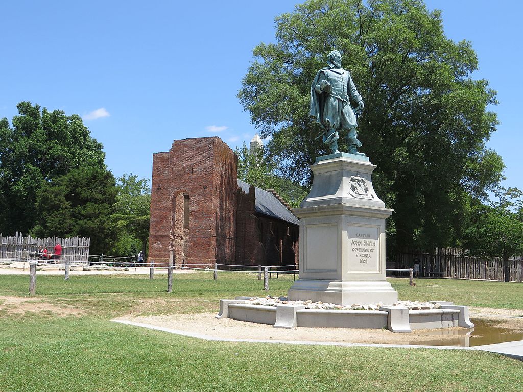
John Smith (c. January 1580 – 21 June 1631) Admiral of New England was an English soldier, explorer, and author. He was knighted for his services to Sigismund Bathory, Prince of Transylvania and his friend Mózes Székely. He was considered to have played an important part in the establishment of the first permanent English settlement in North America. He was a leader of the Virginia Colony (based at Jamestown) between September 1608 and August 1609, and led an exploration along the rivers of Virginia and the Chesapeake Bay. He was the first English explorer to map the Chesapeake Bay area and New England. Smith's books and maps are considered extremely important in encouraging and supporting English colonisation of the New World. He gave the name New England to the region and noted: "Here every man may be master and owner of his owne labour and land... If he have nothing but his hands, he may...by industrie quickly grow rich." When Jamestown was England's first permanent settlement in the New World, Smith trained the settlers to farm and work, thus saving the colony from early devastation. He publicly stated "he who shall not work, shall not eat". This strength of character and determination overcame problems presented from the hostile native Americans, the wilderness and the troublesome and uncooperative English settlers. Harsh weather, lack of water, living in a swampy wilderness, English unwillingness to work, and attacks from the Powhatan nation almost destroyed the colony. en.wikipedia.org/wiki/John_Smith_(explorer) en.wikipedia.org/wiki/Wikipedia:Text_of_Creative_Commons_... |
| تاريخ | |
| مصدر | Captain John Smith Statue, Historic Jamestowne, Colonial National Historical Park, Jamestown, Virginia |
| مؤلف | Ken Lund from Reno, Nevada, USA |
| موقع الكاميرا | | هذه وغيرها من الصور في مواقعها على: خريطة الشارع المفتوحة |
|---|
.jpg¶ms=037.208275_N_-076.778989_E_globe:Earth_type:camera_source:Flickr_&language=arz)
الترخيص
- إنت حر:
- فى المشاركه – علشان نسخ و توزيع و بث العمل
- إنك تمزج – فى تكييف العمل
- بالشروط دى:
- نسبه ل – لازم يتنسب العمل للى مألفه بشكل مناسب و توفير رابط للرخصه وتحديد اذا حصلت تغييرات. ممكن ده يتعمل بأى طريقه معقوله، لكن مش بطريقه تشير ان مانح الرخصه بيوافقك على الاستعمال.
- مشاركه زي – لو عدت إنتاج المواد أو غيرت فيها، لازم تنشر مساهماتك اللى جايه من الأصل تحت ترخيص الأصل نفسه أو تحت ترخيص متوافق معاه.
| نَشَر Ken Lund هذه الصُّورة على موقع فلِيكر بتاريخ https://flickr.com/photos/75683070@N00/14239039490. ورَاجَعها FlickreviewR في 3 نوفمبر 2016، وتأكَّدَ أَنَّها مُرخَّصة برخصة cc-by-sa-2.0. |
تاريخ الفايل
اضغط على الساعه/التاريخ علشان تشوف الفايل زى ما كان فى الوقت ده.
| الساعه / التاريخ | صورة صغيرة | ابعاد | يوزر | تعليق | |
|---|---|---|---|---|---|
| دلوقتي | 16:24، 3 نوفمبر 2016 | | 4,000 × 3,000 (4.63 ميجابايت) | Ser Amantio di Nicolao | Transferred from Flickr via Flickr2Commons |
استخدام الفايل
ال1 صفحة دى فيها وصله للفايل ده:
استخدام الملف العام
الويكيات التانيه دى بتستخدم الفايل ده:
- الاستخدام ف ar.wikipedia.org
- الاستخدام ف az.wikipedia.org
- الاستخدام ف ca.wikipedia.org
- الاستخدام ف ce.wikipedia.org
- الاستخدام ف cy.wikipedia.org
- الاستخدام ف da.wikipedia.org
- الاستخدام ف en.wikipedia.org
- الاستخدام ف eo.wikipedia.org
- الاستخدام ف eu.wikipedia.org
- الاستخدام ف fr.wikipedia.org
- الاستخدام ف he.wikipedia.org
- الاستخدام ف pl.wikipedia.org
- الاستخدام ف ru.wikipedia.org
- الاستخدام ف tt.wikipedia.org
- الاستخدام ف uz.wikipedia.org
- الاستخدام ف www.wikidata.org
.jpg)