
ملف:Belarus - Location Map (2013) - BLR - UNOCHA.svg

الصوره الاصليه (ملف SVG، اساسا 250 × 250 بكسل، حجم الملف: 928 كيلوبايت)
_-_BLR_-_UNOCHA.svg)
الخلاصة
| وصف |
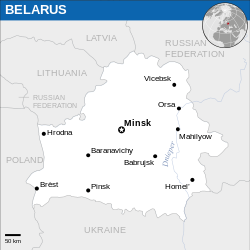
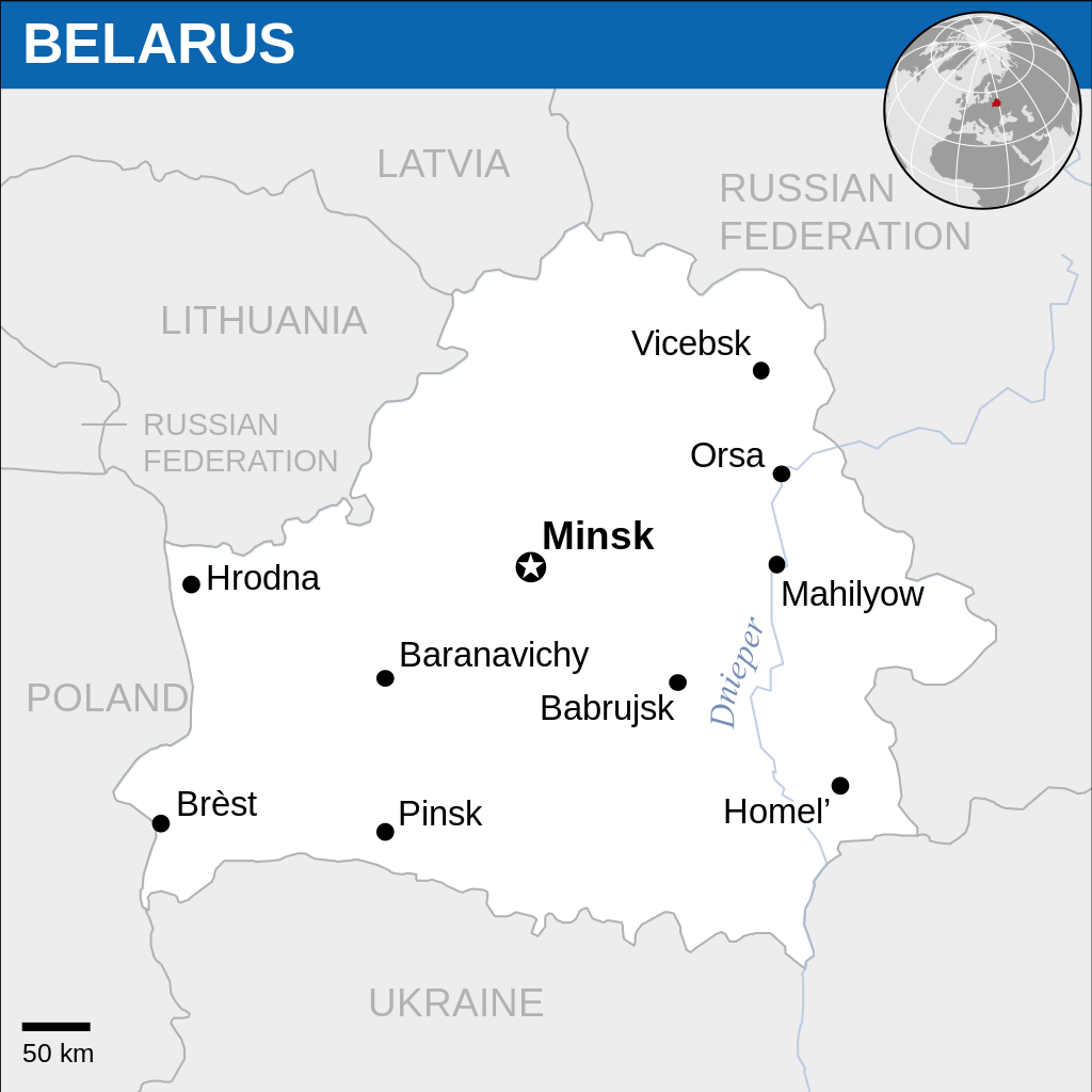
English: Locator map of Belarus. |
| تاريخ | |
| مصدر |
English: Belarus Locator Map (ReliefWeb), ESRI, UNCS |
| مؤلف | |
| SVG منشأ الملف |
الترخيص
- إنت حر:
- فى المشاركه – علشان نسخ و توزيع و بث العمل
- إنك تمزج – فى تكييف العمل
- بالشروط دى:
- نسبه ل – لازم يتنسب العمل للى مألفه بشكل مناسب و توفير رابط للرخصه وتحديد اذا حصلت تغييرات. ممكن ده يتعمل بأى طريقه معقوله، لكن مش بطريقه تشير ان مانح الرخصه بيوافقك على الاستعمال.
 This map is part of a collection of 216 free country maps, created by the UN Office for the Coordination of Humanitarian Affairs (OCHA), to be used in print, web or broadcast products.
The ReliefWeb Location Maps released here are maps that highlight a country, its capital, major populated places and the surrounding regions. Attribution Requirements
Using the map without modifications: ensure that the sources and the disclaimer are below the map. Credit as follows: "Credit: OCHA". For use with alteration: remove the OCHA logo and disclaimer following any modification to the map, but keep the data sources as mentioned below the map. Credit the modified map as follows: "Based on OCHA map". You are responsible for the content of your map. We are keen to receive your feedback and hear how you used OCHA's maps. We would be grateful if you would notify us by e-mail and share your work with us. UN Disclaimer
The designations employed and the presentation of material of this map do not imply the expression of any opinion whatsoever on the part of the Secretariat of the United Nations concerning the legal status of any country, territory, city or area or of its authorities or concerning the delimitation of its frontiers or boundaries. |
تاريخ الفايل
اضغط على الساعه/التاريخ علشان تشوف الفايل زى ما كان فى الوقت ده.
| الساعه / التاريخ | صورة صغيرة | ابعاد | يوزر | تعليق | |
|---|---|---|---|---|---|
| دلوقتي | 11:05، 3 سبتمبر 2023 | | 250 × 250 (928 كيلوبايت) | Illchy | File uploaded using svgtranslate tool (https://svgtranslate.toolforge.org/). Added translation for id. |
| 08:54، 19 نوفمبر 2022 |  | 250 × 250 (928 كيلوبايت) | Pengetik-AM | File uploaded using svgtranslate tool (https://svgtranslate.toolforge.org/). Added translation for id. | |
| 09:15، 10 يناير 2016 |  | 250 × 250 (931 كيلوبايت) | Wereldburger758 | Resized page to drawing. Removal watermark. Validation of image. | |
| 22:37، 13 مارس 2014 |  | 254 × 254 (909 كيلوبايت) | UN OCHA maps bot | == {{int:filedesc}} == {{Information |description={{en|1=Locator Map of Belarus. {{OCHA map}}}} |date=2013 |source=[http://reliefweb.int/map/belarus/belarus-location-map-2013 Belarus Locator Map (ReliefWeb)] |author=[[w:United Nations Off... |
استخدام الفايل
مافيش صفحات بتوصل للفايل ده.
استخدام الملف العام
الويكيات التانيه دى بتستخدم الفايل ده:
- الاستخدام ف az.wiktionary.org
- الاستخدام ف es.wikipedia.org
- الاستخدام ف id.wikipedia.org
_-_BLR_-_UNOCHA.svg)